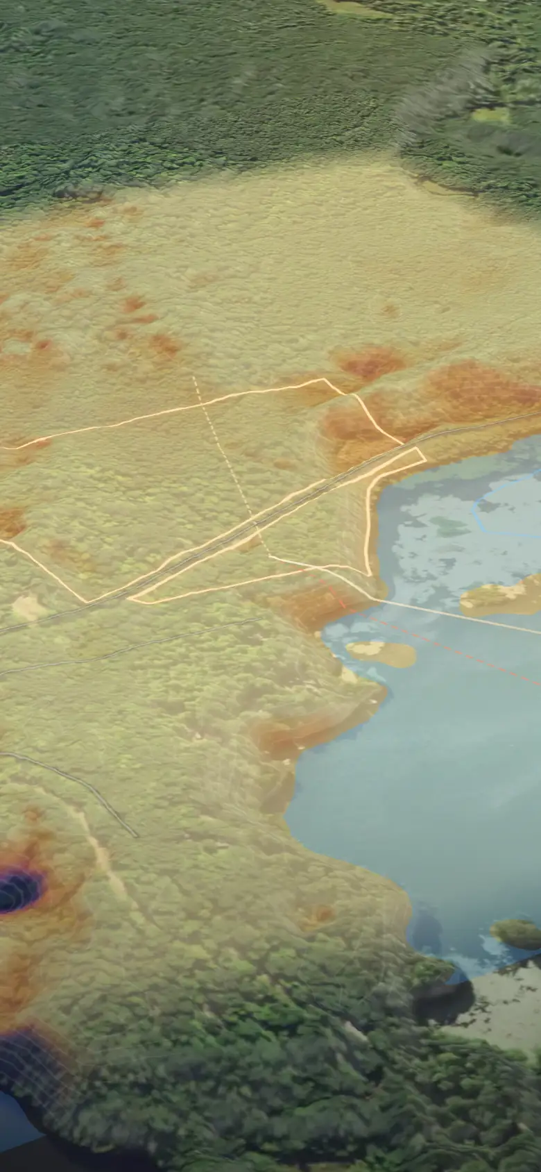


Your land in 3D, for your business.
For land for sale, auction tracts, venues and camps. Start with the parcel number: it finds the exact boundary. We show it to you in 3D, free, before you pick. Licensed for your website, listings, ads and social.
We couldn't find that place.
So there's nothing to pay for. Try the nearest road and town, or leave your email and we'll tell you when we can map it.
Public terrain data, sources and dates shown. No values or listings, and never owner names; parcel lines only where the state publishes them. For exploring and planning only, not a survey or flood determination. Terms · Privacy · Refunds
Your place
Your place
Preview: AWS Terrain Tiles (USGS 3DEP, 10-30 m) · USGS imagery · statewide parcel GIS · search © OpenStreetMap. For planning only. Not a survey.
Pick a package
How do you want to keep it?
"Our pick" is our recommendation, not a sales ranking.
Your Business Map
A few details.
Review
Ready when you are.
Saved.
Example: USGS 3DEP 1 m lidar (2024) · USDA NAIP (Aug 2022) · USGS NHD · WI statewide parcels. Your preview: AWS Terrain Tiles (USGS 3DEP) · USGS imagery · search Nominatim, © OpenStreetMapFor planning only. Not a survey or engineering report.